
Screen-Free City Navigator
Source: Stemoto Original
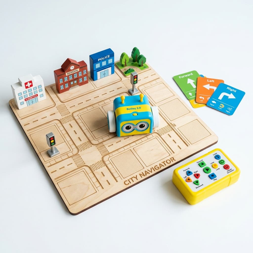
Students use Botley 2.0 to navigate through a wooden laser-cut city mat containing landmarks like hospitals, police stations, schools, and traffic lights. They code Botley to follow traffic signals and reach target destinations — all without using screens.
Categorisation
Props & Materials Required
- •Botley 2.0 coding robot
- •Custom laser-cut city grid board
- •Small landmark tokens (Hospital, Police Station, School, Traffic Lights)
Step-by-Step Instructions
Set Up the City
Lay out the laser-cut city grid board on a flat surface. Place the landmark tokens (Hospital, Police Station, School, Traffic Lights) at designated spots on the grid.
Choose a Mission
Pick a mission card — for example, 'Take the ambulance from the Hospital to the School while obeying all traffic signals.' Discuss the route with your child before coding.
Code the Route
Using Botley's physical buttons (no screen needed!), program the sequence of moves — forward steps, left turns, right turns — to navigate from start to destination.
Run and Debug
Press Go and watch Botley navigate. If it takes a wrong turn or misses the destination, discuss what went wrong and reprogram. This debugging process is the real learning!
Add Challenges
Make it harder: add 'road closed' obstacles, require stopping at traffic lights for 3 seconds, or challenge the child to find the shortest route.
Why It Works & Notes
This project teaches spatial awareness and screen-free computational thinking. Children learn to sequence commands (forward, turn left, turn right) to navigate real-world scenarios, building early algorithmic thinking while connecting to EVS concepts like safety rules and community helpers.
NEP Alignment: Foundational Literacy & Numeracy (FLN), spatial awareness, screen-free computational thinking. Curriculum Mapping: EVS (Safety Rules, Community Helpers, Transport) + Math (Spatial Reasoning, Directions). Target Level: Class 1 & 2.